Situation Summary
Taiwan faces sustained military and political pressure from China, with daily PLA naval and coast-guard activity now normalized as part of Beijing's operational tempo. Elevated war-preparation drills and a major US defence package (US$25 billion) have intensified domestic political debate and cross-strait rhetoric, while a special NT$210 billion drone-procurement budget remains contested in the opposition-controlled Legislative Yuan. Overall threat ranking remains moderate (#154 globally), but military escalation risk and information-warfare intensity are elevated in the near term.
Key Developments
- Taipei (July 7) – Senior Taiwanese official publicly characterized accelerated war-preparation drills as non-provocative, citing daily PLA activity around Taiwan and growing cross-strait military pressure as justification for heightened readiness.
- Waters east of Taiwan (July 6–7) – Taiwan's defence minister condemned Chinese Coast Guard patrols east of Taiwan as "provocative" and a form of cognitive warfare, accusing Beijing of attempting public intimidation and challenging Taiwan's maritime control.
- Taiwan's maritime perimeter (July 6–7) – Ministry of National Defense reported monitoring significant numbers of Chinese warships in waters surrounding Taiwan over the preceding 24-hour period, indicating persistent elevated PLA naval deployments.
- Taipei, Legislative Yuan (July 7) – Opposition-controlled legislature continues contentious debate over Executive Yuan's proposed NT$210 billion special budget for domestic drone procurement, with multiple versions under committee negotiation and no resolution expected before mid-July plenary sessions.
- National level (July 7) – Commentary highlights Taiwan's US$25 billion defence package approval as a major driver of domestic political friction and partisan contestation, with potential for sporadic protests around legislative sessions and defence announcements.
- Cross-strait information space (July 7) – Chinese warnings of "serious consequences" to the United States over Taiwan escalated in recent rhetoric, contributing to heightened political and diplomatic tension and reinforcing elevated risk perception among businesses and travellers.
Highest-Risk Areas
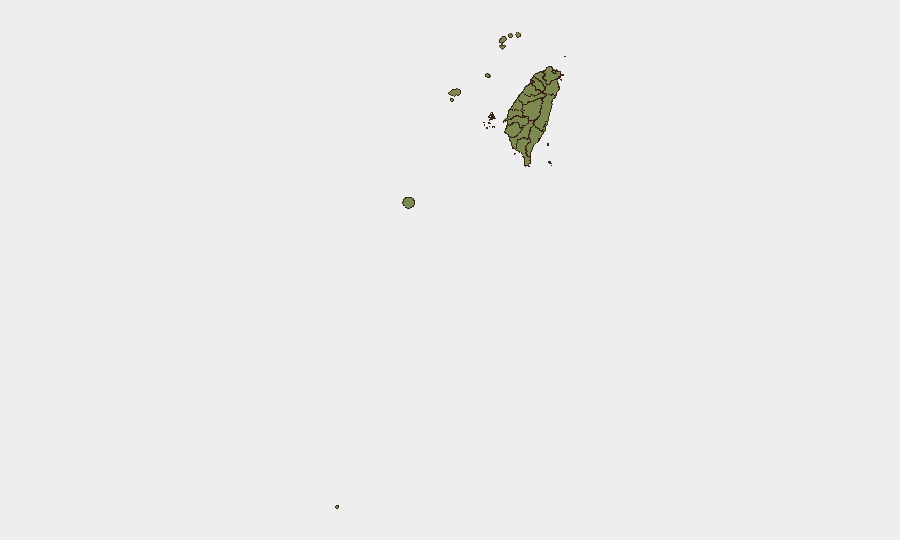
Nantou County's disproportionately high composite risk score (31.5) reflects vulnerability factors unrelated to current military events and warrants clarification through sector-specific analysis. Taipei (18.1) concentrates political, legislative, and government decision-making activity directly tied to cross-strait policy and defence spending, making it the epicenter of near-term political and rhetorical escalation risk. Remaining regions (Kaohsiung, Pingtung, Taitung, Kinmen, Lienchiang, Penghu, and others) carry baseline risk (1.5) consistent with Taiwan's overall moderate threat environment, though maritime and outlying areas face incremental exposure to coast-guard activity and naval presence.
How GeoBit Would Assist
A security team protecting personnel or assets in Taiwan would deploy AOI Monitoring & Early Warning on Taipei legislative sessions and cross-strait rhetoric channels to detect sudden escalatory signals; Maritime & Aviation tracking to monitor PLA naval concentrations and air activity around the island; and OSINT fusion (X/Twitter, news, defence social accounts) to correlate military announcements with political statements and identify inflection points. Conflict & Military force-structure and weapons-capability tracking would provide context on PLA deployments, while GIS & Spatial Analysis supports risk assessment for personnel movement around high-risk areas and maritime zones.
7-Day Outlook
Legislative standoffs over the drone budget and defence package are likely to persist through mid-July, with potential for vocal opposition protests around plenary sessions. PLA naval and coast-guard activity is expected to remain at elevated operational tempo; any spike in scale or proximity to Taiwan's inner perimeter could trigger a rapid escalation in rhetoric and defensive posturing. No imminent physical conflict is signalled by current intelligence, but the information environment and military pressure will sustain heightened tension and travel/operational risk for corporate presence on the island.
Highest-Risk Areas — Ranked
| # | State / Region | Risk |
|---|---|---|
| 1 | Nantou County | 31.5 |
| 2 | Taipei | 18.1 |
| 3 | Kaohsiung | 1.5 |
| 4 | Pingtung County | 1.5 |
| 5 | Taitung County | 1.5 |
| 6 | Lienchiang County | 1.5 |
| 7 | Kinmen | 1.5 |
| 8 | Penghu | 1.5 |
| 9 | Changhua County | 1.5 |
| 10 | Miaoli County | 1.5 |
| 11 | Taichung | 1.5 |
| 12 | Yunlin County | 1.5 |
Sources
Previous Daily Briefs
A new Taiwan brief is written every day — each with its own risk map and downloadable CSV. Here's the last week; use the calendar to go further back.
📅 Browse every day by calendar →
Highlighted days have a brief. Tap a day for that day's map & analysis, or “csv” for that day's dataset ($5).
Atlas — our AI intelligence desk — emails them this snapshot personally. Nothing else, no list.