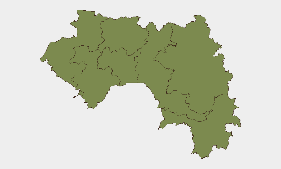
Situation Summary
Guinea remains a moderate-tier global security concern (rank #84, composite score 14) with 20 tracked events in the current monitoring cycle. The security environment is geographically concentrated: Kankan Region in the southeast drives the majority of risk (score 34.3), while Conakry shows secondary concern (19.3). No new security incidents were verified in Guinea over the last 24–48 hours; the current threat picture reflects underlying structural vulnerabilities rather than acute escalation.
Key Developments
No new Guinea-specific security incidents were verified in the last 24–48 hours. Web research across news, social media, and open sources did not surface dated, corroborated reports of conflict, civil unrest, crime, political instability, or infrastructure disruption in Guinea during this period. Monitoring remains active; any emerging incidents will be flagged in follow-on briefs.
Highest-Risk Areas
Kankan Region (southeast Guinea, bordering Mali and Côte d'Ivoire) is the primary risk driver with a composite score of 34.3—more than 75% higher than any other region. This border-zone concentration reflects cross-border trafficking, militia activity, and logistical vulnerability typical of Sahel-adjacent territories. Conakry, the capital and economic hub (score 19.3), carries secondary risk concentrated in urban criminality, port-security, and political friction. The remaining six regions (Boké, Labé, Kindia, Mamou, Faranah, Nzérékoré) show uniform, lower baseline risk (4.3 each), suggesting more stable conditions in peripheral areas but also less intelligence density.
How GeoBit Would Assist
Security and duty-of-care teams with personnel or assets in Guinea should employ AOI Monitoring & Early Warning (persistent watch over Kankan and Conakry with automated alerting) and Intel Sweep + OSINT fusion (multi-language event feeds, X/Telegram, and news corroboration to surface incidents before they escalate). Conflict & Military mapping and Network & Actor analysis are particularly relevant for understanding non-state armed group activity in Kankan; GIS & Spatial analysis supports alternative routing and secure facility siting. Economic & Trade intelligence helps track port-security and supply-chain risk in Conakry.
7-Day Outlook
No acute escalation is forecast over the next seven days. Kankan Region will remain the primary monitoring priority due to its elevated baseline score and border exposure; teams with operations there should maintain heightened situational awareness. Conakry operations warrant routine vigilance typical of a sub-20-risk capital. The absence of recent verified incidents does not indicate security complacency; rather, it reflects a relatively stable period within Guinea's normal risk envelope.
Highest-Risk Areas — Ranked
| # | State / Region | Risk |
|---|---|---|
| 1 | Kankan Region | 34.3 |
| 2 | Conakry | 19.3 |
| 3 | Boké Region | 4.3 |
| 4 | Labé Region | 4.3 |
| 5 | Kindia Region | 4.3 |
| 6 | Mamou Region | 4.3 |
| 7 | Faranah Region | 4.3 |
| 8 | Nzérékoré Region | 4.3 |
Sources
Previous Daily Briefs
A new Guinea brief is written every day — each with its own risk map and downloadable CSV. Here's the last week; use the calendar to go further back.
📅 Browse every day by calendar →
Highlighted days have a brief. Tap a day for that day's map & analysis, or “csv” for that day's dataset ($5).