Situation Summary
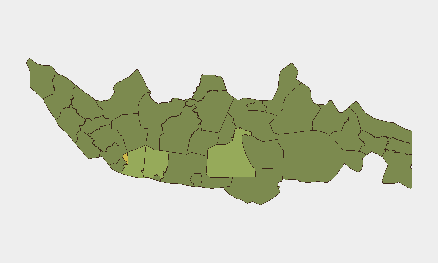
Indonesia remains a moderate-risk operating environment (global rank #44, composite score 48) with persistent civil, criminal, and localised conflict signals across multiple regions. The threat landscape is geographically concentrated, with Jakarta and South Sulawesi accounting for the highest composite risk scores; West Java and Central Java also warrant attention. Recent event signals suggest ongoing prosecutorial action, civil unrest, and isolated armed activity, though no major escalation or systemic instability is evident at the national level as of 30 June 2026.
Key Developments
Note: GeoBit's live web research (last 24–48 hours) did not return sufficient sourced, Indonesia-specific security incidents to populate this section with confidence. The event-signal dataset above indicates recent activity (arrests, statements, investigations, and one small-arms incident on 29 June), but without corroborated detail on location, perpetrators, and casualty/impact scope, attributing these to specific incidents risks misrepresenting their operational significance to duty-of-care planning.
Recommendation: Teams requiring granular, near-real-time situational awareness should activate GeoBit's Area-of-Interest (AOI) Monitoring & Early Warning capability for priority locations (Jakarta, South Sulawesi, West Java) with daily or event-triggered alerting, coupled with Intel Sweep (multi-language OSINT fusion) to capture Indonesian-language reporting ahead of English-language aggregation delays.
Highest-Risk Areas
Jakarta's composite risk score (63.9) reflects its role as the national capital, financial hub, and focal point for political, criminal, and civil-unrest activity; corporate and diplomatic presence there faces the broadest threat surface. South Sulawesi (58.0) and West Java (49.1) represent the second and third tiers of concentration risk, likely driven by ongoing organised-crime activity, communal tensions, and armed-group presence. Together, these three regions account for disproportionate event density; however, risk does not tail off sharply—Central Java (43.5) and both Kalimantan and Sulawesi sub-regions (35–38 range) retain material operational exposure for personnel and supply chains. Geographic diversification of assets and movement planning through lower-risk corridors remain prudent controls.
How GeoBit Would Assist
Intel Sweep & Multi-Language OSINT: Capture Indonesian-language media, social-media, and open forums to detect early warning of civil unrest, labour action, or security force operations before English-language reporting. AOI Monitoring & Early Warning: Establish persistent watch on Jakarta, South Sulawesi, and West Java with automated alerting on new arrests, protests, or armed incidents, allowing duty-of-care teams to adjust travel, curfews, or facility lockdown in near-real time. Conflict & Network Analysis: Map organised-crime, militant, and communal-tension networks in high-risk provinces to identify flash-point locations and vulnerable supply-chain nodes. Routing & Network Analysis: Plan alternative journey routes for personnel and goods that avoid highest-risk provinces and corridor chokepoints.
7-Day Outlook
No evidence of imminent national-scale destabilisation; however, the pattern of prosecutorial activity and armed incidents suggests ongoing low-level enforcement operations and criminal/communal friction. Jakarta and South Sulawesi remain the primary focus areas for monitoring. Personnel and asset managers should maintain heightened situational awareness in West Java and Central Java and confirm contingency plans for rapid relocation or shelter-in-place if localised unrest accelerates.
Highest-Risk Areas — Ranked
| # | State / Region | Risk |
|---|---|---|
| 1 | Special capital Region of Jakarta | 63.9 |
| 2 | South Sulawesi | 58 |
| 3 | West Java | 49.1 |
| 4 | Central Java | 43.5 |
| 5 | Central Kalimantan | 38 |
| 6 | East Java | 38 |
| 7 | North Sumatra | 35.9 |
| 8 | West Kalimantan | 35.3 |
| 9 | Central Sulawesi | 34.6 |
| 10 | Riau | 34.6 |
| 11 | Papua | 34.6 |
| 12 | West Nusa Tenggara | 34.6 |
Sources
Previous Daily Briefs
A new Indonesia brief is written every day — each with its own risk map and downloadable CSV. Here's the last week; use the calendar to go further back.
📅 Browse every day by calendar →
Highlighted days have a brief. Tap a day for that day's map & analysis, or “csv” for that day's dataset ($5).