Situation Summary
Taiwan faces elevated near-term maritime and infrastructure risk driven by intensified Chinese Coast Guard and naval operations, cyber threats targeting regional infrastructure, and weather disruption from Typhoon Bavi. The threat composite score (5/100) remains moderate globally, but sub-national concentrations—particularly in Nantou County and Taipei—reflect localized operational, cyber, and administrative pressures. The security environment is characterized by "salami-slicing" coercion in maritime zones rather than acute military escalation, though the scale of Chinese naval activity (16 warships in 24 hours as of 9 July) signals sustained deterrence operations.
Key Developments
- East coast waters, 9 July 2026: China's Coast Guard conducted "massive law-enforcement patrols" off eastern Taiwan; Taiwan's Coast Guard deployed monitoring vessels in response. Chinese ships remained outside Taiwan's restricted waters.
- Taiwan Strait and regional waters, 9 July 2026: Record concentration of 16 Chinese warships detected around Taiwan over a 24-hour period. Four Chinese government vessels were expelled from Taiwanese waters in a separate tense standoff.
- Taiwan Strait / East China Sea / South China Sea, ongoing through 9 July: Senior Taiwanese security officials warned of intensified "salami-slicing" strategy using military, Coast Guard, research, and maritime militia vessels. Harassment of commercial shipping has increased since late May 2026.
- Taiwan's critical infrastructure (cyber), up to 9 July 2026: China-linked cyber threat group shifted focus from Taiwan web-hosting targets to broader Southeast Asian critical infrastructure, though prior Taiwanese targeting confirms ongoing regional cyber risk.
- Taiwan (domestic), 9 July 2026: Taiwan is deploying private security firms on military school campuses to offset manpower shortages, indicating resource constraints in domestic security posture.
- Taiwan (nationwide), 9 July 2026: Tainted oil recall expanded to 401 products, affecting food supply chains and retail infrastructure.
- Taiwan (transport / infrastructure), 9 July 2026: Typhoon Bavi disrupting transportation; sea warnings expected imminently, creating short-term risk to ports, coastal roads, and flight operations.
Highest-Risk Areas
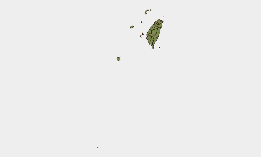
Nantou County dominates the sub-national risk ranking (31.5), reflecting its inland location, administrative infrastructure, and likely sensitivity to cyber and telecommunications disruption. Taipei (18.1) concentrates political, administrative, and media targets alongside dense civilian populations and critical infrastructure. Together, these two regions account for the bulk of tracked risk events. Coastal regions (Kaohsiung, Pingtung, Penghu, Kinmen, Lienchiang) show lower scores despite maritime exposure, suggesting that current Chinese naval operations are not yet translating into measurable on-shore security events. Risk in these areas may escalate if maritime coercion escalates to direct territorial or civilian targeting.
How GeoBit Would Assist
Security and duty-of-care teams should employ Maritime & Aviation tracking to monitor Chinese Coast Guard and naval vessel movements in real time and correlate patterns with commercial shipping routes. AOI Monitoring & Early Warning on high-risk sub-regions (Nantou, Taipei, coastal ports) would flag emerging incidents within 4–6 hours and support predictive alerting. Network & Actor Analysis would track China-linked cyber threat groups and their shifting regional targeting to assess residual risk to Taiwan-linked critical infrastructure operators and supply chains.
7-Day Outlook
Chinese maritime coercion is expected to persist at current intensity through mid-July, with Typhoon Bavi likely to temporarily disrupt both civilian and military operations over the next 48–72 hours. Post-typhoon, Coast Guard and naval activity will likely resume. Cyber operations against regional infrastructure may indirectly affect Taiwanese entities; commercial shipping disruption and logistics delays are the primary near-term business-continuity risks.
Highest-Risk Areas — Ranked
| # | State / Region | Risk |
|---|---|---|
| 1 | Nantou County | 31.5 |
| 2 | Taipei | 18.1 |
| 3 | Taichung | 3.6 |
| 4 | Tainan | 2.6 |
| 5 | Kaohsiung | 1.5 |
| 6 | Pingtung County | 1.5 |
| 7 | Taitung County | 1.5 |
| 8 | Lienchiang County | 1.5 |
| 9 | Kinmen | 1.5 |
| 10 | Penghu | 1.5 |
| 11 | Changhua County | 1.5 |
| 12 | Miaoli County | 1.5 |
Sources
Previous Daily Briefs
A new Taiwan brief is written every day — each with its own risk map and downloadable CSV. Here's the last week; use the calendar to go further back.
📅 Browse every day by calendar →
Highlighted days have a brief. Tap a day for that day's map & analysis, or “csv” for that day's dataset ($5).
Atlas — our AI intelligence desk — emails them this snapshot personally. Nothing else, no list.