Situation Summary
Tonga remains a low-threat environment (global rank #162, composite score 5) with no confirmed security incidents reported in the past 24–48 hours. However, GeoBit's event feeds have flagged three signals requiring clarification: a reported China–Government military engagement on 2026-07-07, administrative sanctions imposed by Tonga on 2026-07-08, and a judicial statement on 2026-07-07. Two moderate seismic events (M 5.4 and M 4.3) occurred in offshore zones and do not pose immediate civil security risk. Absence of verified on-ground reporting suggests these signals may relate to diplomatic, regulatory, or regional developments rather than active instability.
Key Developments
- 2026-07-08 · Tongatapu (administrative) — Tonga imposed unspecified sanctions. Source clarity and target remain unconfirmed; requires cross-reference with official government statements and diplomatic channels.
- 2026-07-07 · Tongatapu (judicial) — Public statement issued by judicial authority. Nature, subject matter, and operational impact unknown pending verification.
- 2026-07-07 · Regional waters — Event signal flagged as "Artillery/Tanks · China vs Government." Geolocation, participants, and ground truth unconfirmed; may reflect regional military posturing, exercises, or data misclassification.
- Offshore seismic activity (recent) — M 5.4 earthquake 245 km south of ʻOhonua and M 4.3 event 263 km WNW of Houma. No tsunami or infrastructure damage reported; does not alter security posture.
- Information gap — No verified civil unrest, crime, infrastructure failure, or travel disruption reported in Tongatapu or outer islands in the last 48 hours.
Highest-Risk Areas
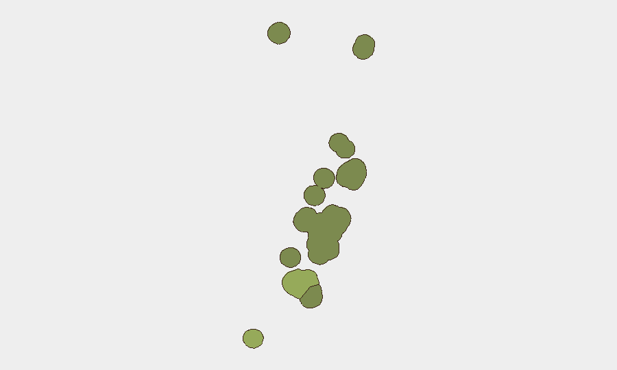
Tongatapu (risk score 45) dominates the threat profile and accounts for the majority of Tonga's composite risk. Vavaʻu (28) and Haʻapai (22) carry secondary risk, likely driven by geographic isolation, limited emergency response capacity, and historical patterns of localized supply-chain or maritime incidents. Outer islands (ʻEua, Ongo Niua) remain lower-risk. Risk concentration in Tongatapu reflects population density, port/airport infrastructure, and administrative centrality; security teams with personnel or assets in the capital should prioritize that zone for monitoring and contingency planning.
How GeoBit Would Assist
Security teams should employ AOI Monitoring & Early Warning on Tongatapu and key transport hubs (Nadi-adjacent ports, airfield) to detect civil unrest, labor disruption, or maritime incidents in real time. Intel Sweep and X/Twitter OSINT would clarify the nature and scope of the July 7–8 signals (sanctions, judicial action, China contact) and cross-check against official government and international diplomatic sources. Seismic and Environmental monitoring would track offshore activity and any downstream impacts on fishing, shipping, or coastal infrastructure.
7-Day Outlook
No escalation trajectory is evident. The three flagged events appear to reflect routine administrative, judicial, or diplomatic activity rather than crisis onset. Seismic activity remains offshore and non-threatening. Unless additional verified incidents emerge or official government statements signal policy shifts affecting foreign nationals or commercial operations, Tonga's threat level is expected to remain stable and low over the next 7 days.
Highest-Risk Areas — Ranked
| # | State / Region | Risk |
|---|---|---|
| 1 | Tongatapu | 45 |
| 2 | Vavaʻu | 28 |
| 3 | Haʻapai | 22 |
| 4 | ʻEua | 18 |
| 5 | Ongo Niua | 12 |
Previous Daily Briefs
A new Tonga brief is written every day — each with its own risk map and downloadable CSV. Here's the last week; use the calendar to go further back.
📅 Browse every day by calendar →
Highlighted days have a brief. Tap a day for that day's map & analysis, or “csv” for that day's dataset ($5).
Atlas — our AI intelligence desk — emails them this snapshot personally. Nothing else, no list.