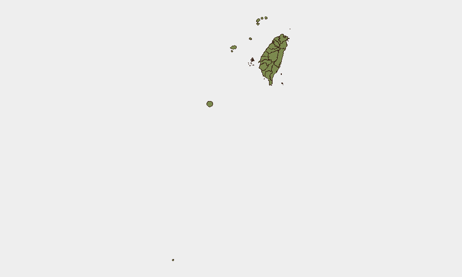
Situation Summary
Taiwan faces sustained elevated military pressure from China, with near-daily air and naval incursions around the island now accompanied by increased maritime friction in restricted waters near outlying territories. Over July 10–11, Chinese forces deployed 12 ships and 4 military aircraft, with multiple aircraft crossing the Taiwan Strait median line into northern and southwestern Air Defense Identification Zones (ADIZ). Taiwan's government has responded with enhanced civil defense exercises and Coast Guard interdictions, reflecting a shift from periodic drills to operational readiness posture. The security environment remains tense but contained; no kinetic escalation has occurred, though the frequency and coordination of Chinese operations signal sustained pressure.
Key Developments
- Chinese aircraft cross Taiwan Strait median line (Taiwan ADIZ, July 10–11, 2026): Four PLA military aircraft entered Taiwan's northern and southwestern air defense zones within a 24-hour reporting window, marking routine but operationally significant incursions that Taiwan's Ministry of National Defense tracked and publicized.[1]
- Chinese vessels repelled from Kinmen restricted waters (Kinmen Islands, July 10–11, 2026): Taiwan Coast Guard reported a multi-hour standoff and successful removal of four Chinese vessels from restricted waters near Kinmen, an outlying island close to mainland Fujian province.[5]
- Extended Chinese naval presence around Taiwan (Taiwan Strait, July 10–11, 2026): Taiwan reported 11 Chinese naval warships and one government vessel operating in surrounding waters during the same 24-hour period, consistent with near-daily Chinese military operations.[1]
- International IPAC delegation observes cross-strait security conditions (Kinmen patrol, July 9–10, 2026): Members of the Inter-Parliamentary Alliance on China joined Taiwan Coast Guard patrols off Kinmen to directly assess maritime activity and Chinese infrastructure, emphasizing links between Taiwan Strait stability and global economic security.[4]
- U.S. warship transits Taiwan Strait (Taiwan Strait, ~July 10–11, 2026): A U.S. naval vessel transited the strait following Chinese drills, described as the second such passage in two weeks and interpreted by regional analysts as a "freedom of navigation" operation in a high-tension environment.[6]
- Nantou County resilience drills simulate multi-hazard crisis (Nantou County, recent days, July 2026): Large-scale civilian exercises in central Taiwan simulated earthquake, cyberattack, infrastructure sabotage, misinformation, supply disruption, and military assault scenarios, involving hospitals, emergency services, and local authorities.[2]
- China Coast Guard announces new east-of-Taiwan patrol deployment (east of Taiwan, early July–ongoing): Chinese authorities deployed a new Coast Guard patrol east of Taiwan, which Taipei has objected to as an expansion of Chinese maritime claims and sovereignty assertions in the region.[2]
Highest-Risk Areas
Nantou County in central Taiwan carries by far the highest risk score (31.5), likely driven by its strategic geography, critical infrastructure, and designation as a focal point for civil defense exercises simulating kinetic and cyber threats. Taipei's elevated risk (11.2) reflects its status as the capital and seat of government; New Taipei follows at 3.7. Outlying islands—Kinmen, Lienchiang, and Penghu—all register at 1.5, consistent with their proximity to Chinese territory and recent maritime friction. The concentration of risk in central and northern Taiwan, combined with heightened activity around outlying islands, suggests concern for both mainland civilian continuity and forward maritime security.
How GeoBit Would Assist
A security team protecting personnel or assets in Taiwan would benefit from AOI Monitoring & Early Warning on the Taiwan Strait and around Kinmen to track Chinese naval and air activity in near-real time; Maritime & Aviation tracking to plot civilian and commercial vessel routes away from zones of heightened military activity; and Conflict & Military force-structure and weapons-capability tracking to contextualize the significance of ongoing Chinese deployments. Cross-verification via Intel Sweep and OSINT fusion ensures corporate intelligence teams distinguish between routine operations and genuine escalation signals.
7-Day Outlook
Chinese military operations are expected to continue at current elevated levels over the next week, with routine air and naval activity around Taiwan's ADIZ and approaches to outlying islands. Taiwan will likely maintain civil defense readiness and Coast Guard interdictions, while international diplomatic attention (IPAC visits, U.S. transits) continues to signal external concern for strait stability. No imminent kinetic escalation is assessed, but the operational tempo creates sustained elevated risk for maritime and air travel in the strait and near Kinmen.
Highest-Risk Areas — Ranked
| # | State / Region | Risk |
|---|---|---|
| 1 | Nantou County | 31.5 |
| 2 | Taipei | 11.2 |
| 3 | New Taipei | 3.7 |
| 4 | Kaohsiung | 1.5 |
| 5 | Pingtung County | 1.5 |
| 6 | Taitung County | 1.5 |
| 7 | Lienchiang County | 1.5 |
| 8 | Kinmen | 1.5 |
| 9 | Penghu | 1.5 |
| 10 | Changhua County | 1.5 |
| 11 | Miaoli County | 1.5 |
| 12 | Taichung | 1.5 |
Sources
Previous Daily Briefs
A new Taiwan brief is written every day — each with its own risk map and downloadable CSV. Here's the last week; use the calendar to go further back.
📅 Browse every day by calendar →
Highlighted days have a brief. Tap a day for that day's map & analysis, or “csv” for that day's dataset ($5).
Atlas — our AI intelligence desk — emails them this snapshot personally. Nothing else, no list.