Situation Summary
The Maldives faces a composite threat score of 2 (globally unranked) with no discrete security incidents reported in the last 24–48 hours. Current security-relevant developments centre on maritime safety hazards (two vessel incidents with missing crew), severe weather warnings, a measles outbreak near 121 cases in Malé, and routine urban infrastructure operations. The risk trajectory remains low for political violence or civil unrest, though maritime and public-health vectors warrant operational attention for corporate and travel-security teams.
Key Developments
- Kaafu Atoll, Thilafushi–Gaafaru corridor (ongoing since Fri 2 Aug): A landing craft capsized with 10 persons aboard; eight were rescued, but two expatriate crew remain missing. MNDF Coast Guard is conducting active sea and air search-and-rescue operations, affecting inter-island maritime traffic in this zone.
- Kaafu Atoll, off Maafushi (Fri 2 Aug): Live-aboard safari vessel *Princess Laala* ran aground after its anchor loosened, breaking apart against the island's outer breakwater. This poses active marine hazard and localized infrastructure damage near a major tourism hub.
- Central–northern Maldives, Hulhulé–Girifushi corridor (Thu–Sat 31 Jul–2 Aug, warnings continuing): Maldives Meteorological Service and MNDF report severe weather with heavy rain, strong winds, and rough seas (84 mm rainfall recorded). A drifting, unlit metal barge east of the Himmafushi–Girifushi route creates navigation and collision risk for small craft; seafarers warned to exercise heightened caution.
- Malé region (Sat 2 Aug onward): Waste-management operator WAMCO has resumed normal operations at waste-transfer stations in Malé, Hulhumale', and Vilimale' following a fire at the Thilafushi waste site two weeks prior. This affects urban sanitation and public-health risk in the capital region.
- Nationwide, centred on Malé (last 24–48 hours): Health Protection Agency reports measles cases in Malé rising to 121, with vaccination campaigns underway and calls for case isolation. Large public gatherings continue (street markets, carnivals), elevating risk of crowding-related transmission and potential sudden localized closures or travel restrictions.
- Malé region (campaign period, election/referendum scheduled Sat 3 Aug): Housing Development Corporation announced rent relief on Hiyaa flats in Hulhumale' Phase II days before local council and national votes, a politically sensitive decision that may heighten debate on housing policy and economic grievances, though no mass unrest has materialized.
Highest-Risk Areas
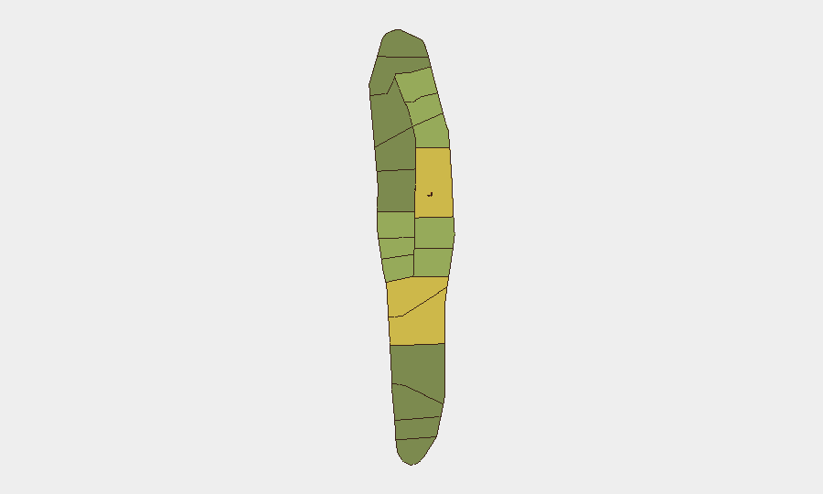
Malé (85) and Malé Atoll (68) drive the national composite risk score, primarily owing to urban density, critical infrastructure concentration, and public-health exposure (measles cluster, waste-handling, population movement). Hadhdhunmathi (65) and Kolhumadulu (60) follow, likely reflecting inter-island transport vulnerability and maritime traffic density. The northern atolls and central shipping corridors (Kaafu, Baa) present acute maritime hazard and weather-exposure risk in the current 24–48 hour window, but do not signal political instability.
How GeoBit Would Assist
Security teams should deploy AOI Monitoring & Early Warning on Kaafu Atoll (maritime incident zone) and Malé (measles and waste-operations tracking) to detect escalation or secondary incidents. Maritime & Aviation Tracking combined with Weather & Environmental Intelligence would provide real-time alerts on vessel movements, unlit hazards, and coastal conditions. Multi-language OSINT and sentiment analysis on X/Twitter and local news feeds will flag emerging political tensions ahead of the Saturday election and referendum.
7-Day Outlook
Maritime incident resolution and weather stabilization are expected within 3–5 days, reducing immediate transport-corridor risk. The measles outbreak will likely persist and drive sporadic localized restrictions (school closures, event cancellations) but poses low direct security threat to corporate operations. Local council elections and the national referendum on Saturday (3 Aug) carry low reported unrest risk but warrant light monitoring for post-vote rhetoric or housing-policy protests.
Highest-Risk Areas — Ranked
| # | State / Region | Risk |
|---|---|---|
| 1 | Malé | 85 |
| 2 | Malé Atoll | 68 |
| 3 | Hadhdhunmathi | 65 |
| 4 | Kolhumadulu | 60 |
| 5 | Felidhu Atoll | 58 |
| 6 | Mulaku Atoll | 55 |
| 7 | Faadhippolhu | 52 |
| 8 | South Miladhunmadulu | 48 |
| 9 | North Miladhunmadulu | 45 |
| 10 | South Nilandhe Atoll | 44 |
| 11 | North Nilandhe Atoll | 42 |
| 12 | South Ari Atoll | 40 |
Sources
Previous Daily Briefs
A new Maldives brief is written every day — each with its own risk map and downloadable CSV. Here's the last week; use the calendar to go further back.
📅 Browse every day by calendar →
Highlighted days have a brief. Tap a day for that day's map & analysis, or “csv” for that day's dataset ($5).
Atlas — our AI intelligence desk — emails them this snapshot personally. Nothing else, no list.