Situation Summary
Taiwan faces sustained gray-zone military pressure from China, with elevated operational activity in the Taiwan Strait and around Taiwan-controlled offshore islands. Concurrent natural disaster impact (Typhoon Bavi, 13–14 Jul) has degraded critical infrastructure in the north and diverted government response capacity. The combination of intensified PLA/Coast Guard operations, foreign diplomatic messaging by Taipei, and active military exercises in the capital region reflects a security environment characterized by both deliberate coercion and elevated ambient risk.
Key Developments
- Taiwan Strait & Northern ADIZ, 15 Jul 06:00 UTC+8: Taiwan's Ministry of National Defense reported 3 PLA aircraft crossing the median line into the northern and southwestern ADIZ, accompanied by 6 PLA Navy ships and 8 PRC official vessels. ROC forces responded with CAP, naval assets, and coastal missile systems.
- Eastern waters off Taiwan, 14–15 Jul: Intensified China Coast Guard patrols documented, including commercial vessel inspections and undersea cable surveying (Taiwan–Japan links). Analysts characterize activity as gray-zone pressure and potential blockade preparation.
- Taiwan-controlled offshore islands (western approaches), 14 Jul: Taiwan's government conducted a high-visibility tour with foreign lawmakers aboard Taiwan Coast Guard vessels to signal resistance to increased PRC Coast Guard presence; tour widely reported internationally.
- Taipei metropolitan area, 13–14 Jul: Taiwan's military mobilized Marine Corps units to reinforce Taipei defenses during a joint exercise; deployment occurred during active Typhoon Bavi conditions.
- Northern Taiwan (Taipei, New Taipei City, Taoyuan), 13–14 Jul: Typhoon Bavi caused 113 injuries, forced evacuation of 14,605 residents, and left 234,481 households without power; authorities closed offices and schools across the region, degrading normal government and commercial operations.
- Sustained pattern, July to date: Taiwan's Ministry of National Defense reported 91 Chinese military aircraft and 112 ships tracked around Taiwan in the first 15 days of July, reflecting routine gray-zone operations.
Highest-Risk Areas
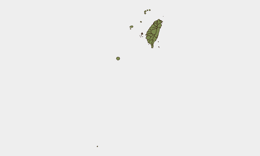
Nantou County and Taipei dominate the sub-national ranking (31.5 and 25.8 respectively), substantially above all other regions. Taipei's elevated risk reflects its status as the capital, concentration of government, economic, and symbolic targets, combined with current military exercise activity and typhoon-related infrastructure disruption. Nantou's high score likely reflects terrain complexity, remote communication infrastructure, and interior geography that complicates emergency response and security operations. All other tracked regions score uniformly low (1.5), indicating risk is concentrated in the capital region and central highlands rather than distributed across the island.
How GeoBit Would Assist
Security teams operating in Taiwan should deploy AOI Monitoring & Early Warning on Taipei and northern coastal zones to track military exercise timelines, typhoon recovery, and PLA/Coast Guard operational patterns in real time. Maritime & Aviation Tracking combined with Conflict & Military mapping would enable continuous surveillance of PLA activity in the Strait and around Taiwan-controlled islands, with alerting on cross-median-line incursions or escalated posture. Routing & Network Analysis supports contingency planning for personnel evacuation or supply chains vulnerable to strait disruption or blockade scenarios.
7-Day Outlook
PLA operational activity is likely to remain elevated and routine through the near term, with ongoing ADIZ incursions and Coast Guard patrols as part of sustained coercive signaling. Typhoon Bavi recovery in northern Taiwan will compete for government and emergency-response resources, potentially delaying normalization of infrastructure and reducing administrative capacity. Risk of an acute military incident remains low but non-zero; any escalation would most likely originate from miscalculation during high-density air or naval operations in the Strait.
Highest-Risk Areas — Ranked
| # | State / Region | Risk |
|---|---|---|
| 1 | Nantou County | 31.5 |
| 2 | Taipei | 25.8 |
| 3 | Kaohsiung | 1.5 |
| 4 | Pingtung County | 1.5 |
| 5 | Taitung County | 1.5 |
| 6 | Lienchiang County | 1.5 |
| 7 | Kinmen | 1.5 |
| 8 | Penghu | 1.5 |
| 9 | Changhua County | 1.5 |
| 10 | Miaoli County | 1.5 |
| 11 | Taichung | 1.5 |
| 12 | Yunlin County | 1.5 |
Sources
Previous Daily Briefs
A new Taiwan brief is written every day — each with its own risk map and downloadable CSV. Here's the last week; use the calendar to go further back.
📅 Browse every day by calendar →
Highlighted days have a brief. Tap a day for that day's map & analysis, or “csv” for that day's dataset ($5).
Atlas — our AI intelligence desk — emails them this snapshot personally. Nothing else, no list.