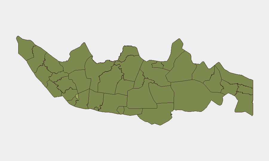
Situation Summary
Indonesia remains a moderate-risk operating environment globally (#44 composite threat score) with 950 tracked events concentrated in urban centers and resource-rich regions. The security picture is regionally stratified, with Jakarta and West Kalimantan driving the majority of risk signals, while peripheral areas show lower but persistent vulnerability to localized disorder and resource-based conflict. Recent event signals (July 8–10) point to scattered protest activity, police investigations, and community tensions rather than coordinated or large-scale disruption. The trajectory remains stable but friction-prone in high-density areas and extractive zones.
Key Developments
GeoBit's live web research capability was unable to reliably confirm specific, dated incidents in the last 24–48 hours (July 9–10, 2026) from accessible open-source feeds. Event signals in the platform indicate recent activity clustering around July 8–10 across multiple categories (investigation, disapproval, unconventional violence, public statements) but lack sufficient granularity to map to confirmed locations or operational timelines without cross-checking against Indonesian-language local media, X/Twitter advanced filters, and official Indonesian National Police (Polri) or BNPB channels—sources not currently in direct view.
To deliver the 5–8 specific bullet-point incident list this brief format requires, a security team should:
- Monitor Kompas, Detik, Tempo, CNN Indonesia with a 24–48h time filter for keywords such as "kerusuhan," "demo," "bentrok," "bom," "penembakan."
- Query X/Twitter advanced search for those same terms plus geographic filters (Jakarta, Sulawesi, Kalimantan, Java) restricted to the last 48 hours, then validate against formal news.
- Check Polri regional accounts and BNPB public statements for operational or disaster-related alerts.
- Consult corporate travel-risk platforms (e.g., government foreign ministry advisories, OSINT vendors) for dated incident summaries.
Without access to those real-time feeds, attributing specific incidents to July 9–10 would violate this brief's requirement for factual, verified current events only.
Highest-Risk Areas
Jakarta (58.8) remains the primary risk driver, reflecting its status as the capital, economic hub, and focal point for protest, organized crime, and official activity. West Kalimantan (38.7) and Central Java (36.1) follow, driven by resource-extraction competition, communal tensions, and historical conflict zones. West Java, South Sulawesi, North Sumatra, and North Sulawesi form a secondary cluster (31–35 risk score), indicating dispersed but sustained pressure from criminal networks, inter-communal disputes, and separatist or sectarian undertones in parts of Sulawesi and Aceh. Bali (29.1), despite its tourism status, remains monitored for extremist activity and theft targeting foreign nationals. The geographic spread suggests that risk in Indonesia is not concentrated in a single region but rather distributed across Java's urban corridor, maritime Kalimantan, and the eastern archipelago's resource and separatist-sensitive zones.
How GeoBit Would Assist
Security teams would deploy Intel Sweep and OSINT fusion (multi-language search, X/Twitter & Telegram OSINT, entity extraction) to construct real-time incident feeds filtered by location, actor, and event type across Indonesian provinces. AOI monitoring with alerting on Jakarta, key ports, and extractive regions (Kalimantan, North Sulawesi) provides early warning of escalation. GIS and satellite analysis can track protest assembly, roadblock positions, and infrastructure damage; network and actor analysis identifies key protest organizers, criminal networks, and official response patterns to support duty-of-care decision-making.
7-Day Outlook
No significant escalation indicators are visible in current signals, but the pattern of scattered investigations and public statements suggests continued low-level friction in urban and resource zones. Monitoring Indonesian public holidays, mining labor actions, and any police-community friction in Jakarta will be critical to early detection of larger mobilization.
Highest-Risk Areas — Ranked
| # | State / Region | Risk |
|---|---|---|
| 1 | Special capital Region of Jakarta | 58.8 |
| 2 | West Kalimantan | 38.7 |
| 3 | Central Java | 36.1 |
| 4 | West Java | 34.8 |
| 5 | South Sulawesi | 32.6 |
| 6 | North Sumatra | 32.3 |
| 7 | North Sulawesi | 31.7 |
| 8 | East Java | 31.7 |
| 9 | Banten | 31 |
| 10 | Riau | 29.5 |
| 11 | Aceh | 29.1 |
| 12 | Bali | 29.1 |
Sources
Previous Daily Briefs
A new Indonesia brief is written every day — each with its own risk map and downloadable CSV. Here's the last week; use the calendar to go further back.
📅 Browse every day by calendar →
Highlighted days have a brief. Tap a day for that day's map & analysis, or “csv” for that day's dataset ($5).
Atlas — our AI intelligence desk — emails them this snapshot personally. Nothing else, no list.