Situation Summary
Australia remains a composite threat level 6 globally (#128), with 1,389 tracked events. The security picture is marked by elevated violent crime and public-order incidents concentrated in New South Wales and Victoria, alongside emerging serious organised crime (cocaine trafficking) and child-safety concerns in remote regions. Current trajectory shows localised volatility in major urban centres and the Northern Territory, with transport and labour disruption adding operational friction across the country.
Key Developments
- Melbourne western suburbs, VIC – Coordinated violent attacks (overnight, mid-July 2026). Four bullets fired into a Kealba home; a Keilor Downs house firebombed two days after drive-by shooting; two vehicles torched in Taylors Lakes within 90 minutes. Police investigating possible linkage; suggests organised or targeted violence escalation in Victoria's highest-risk zone.
- Sydney outskirts, NSW – Australia's largest cocaine seizure (recent). Police recovered 3 tonnes of cocaine on a property, signalling major organised-crime supply-chain activity and associated violence risk in NSW, which holds the nation's highest threat composite score (32.2).
- Alice Springs, NT – Weapons violence and armed robbery of child (overnight and weekend, recent). Street brawl involving machetes and metal bars; 13-year-old takeaway employee bashed and robbed at knifepoint; two others injured in family-linked incident. Reflects acute public-order and child-safety deterioration in the Northern Territory.
- Katherine region, NT – Stolen vehicles, police ramming, firearm recovery (weekend, ongoing). Multiple stolen cars recovered; attempts to ram police vehicles reported; rifle and ammunition initially missing, recovered Sunday night. Indicates organised vehicle-theft and armed-crime activity in remote NT.
- Marrara, Darwin, NT – Dangerous driving, serious head-on crash (late Saturday, recent). Three males in black Toyota Hilux arrested after high-speed crash requiring extrication of 34-year-old motorist to hospital; part of active stolen-vehicle and dangerous-driving investigation series.
- Darwin region, NT – Child sexual offending at vacation care (mid-July 2026). 40-year-old charged with indecent touching and grooming of child under 16 at holiday program; reflects child-safety risk in regional care facilities.
- Australia airports, national – Planned worker protests (reported mid-July 2026). Airport workers planning major protests over Qantas-linked safety and working-condition claims; expect multi-airport action with near-term travel disruption and operational-safety implications.
- South Australia – Flooding warning, Willara Crossing (advisory ~10 hours ago). HazardWatch issued flooding alert affecting transport routes; may impact road travel and local infrastructure safety in SA.
Highest-Risk Areas
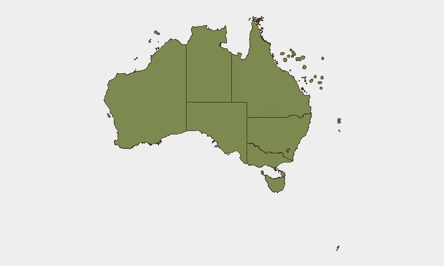
New South Wales (32.2) and Victoria (15.5) together account for the majority of tracked incidents, driven by organised-crime escalation, violent property crime, and financial fraud. The Northern Territory (14.7) shows acute and concentrated risk from weapons violence, child safety breaches, and stolen-vehicle/dangerous-driving chains centred on Alice Springs, Katherine, and Darwin. Remote and regional areas in NT present particular duty-of-care exposure due to response-time and facility-oversight gaps.
How GeoBit Would Assist
Security teams should deploy AOI Monitoring & Early Warning on high-incident postcodes in Melbourne, Sydney, and Darwin; OSINT fusion (X/Telegram/YouTube) to track organised-crime network signals; and Entity Extraction & Network Analysis to map perpetrator and victim patterns across violent clusters. Risk & Threat Assessment and Routing & Network Analysis capabilities enable real-time identification of alternative transport and facility routes during labour disruptions and public-order events.
7-Day Outlook
Violent crime in NSW and Victoria is likely to remain elevated pending police investigation outcomes in Melbourne; organised-crime supply-chain activity (cocaine) will sustain law-enforcement focus and collateral risk. Northern Territory public-order and child-safety incidents may persist through the week. Airport protests will create predictable but material operational friction mid-week.
Highest-Risk Areas — Ranked
| # | State / Region | Risk |
|---|---|---|
| 1 | New South Wales | 32.2 |
| 2 | Victoria | 15.5 |
| 3 | Northern Territory | 14.7 |
| 4 | Queensland | 9.1 |
| 5 | Western Australia | 7.5 |
| 6 | South Australia | 5.6 |
| 7 | Australian Capital Territory | 4.4 |
| 8 | Tasmania | 2.3 |
| 9 | Ashmore and Cartier Islands | 2.2 |
| 10 | Jervis Bay Territory | 2.2 |
| 11 | Coral Sea Islands | 2.2 |
Sources
Previous Daily Briefs
A new Australia brief is written every day — each with its own risk map and downloadable CSV. Here's the last week; use the calendar to go further back.
📅 Browse every day by calendar →
Highlighted days have a brief. Tap a day for that day's map & analysis, or “csv” for that day's dataset ($5).
Atlas — our AI intelligence desk — emails them this snapshot personally. Nothing else, no list.