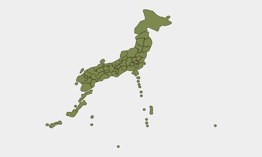
Situation Summary
Japan faces a compound security picture driven by a major seismic event in Kumamoto Prefecture and concurrent maritime tensions in its southwestern waters. A magnitude 6.8 earthquake on July 28 has triggered mass civilian displacement, infrastructure damage, industrial shutdowns, and ongoing aftershock risk; simultaneously, Chinese naval live-fire drills near Japan's exclusive economic zone have elevated regional political and security concerns. The immediate risk is concentrated in Kyushu but has broader supply-chain and diplomatic implications.
Key Developments
- Uto, Kumamoto Prefecture – July 28, 4:30 p.m. A magnitude 6.8 earthquake struck near the coastal city of Uto, causing widespread building collapses, fires, power outages, and multiple fatalities. At least one death confirmed; dozens seriously injured; tens of thousands lost power. Kumamoto City sustained severe damage including partial collapse of a shopping mall with 20–30 workers unaccounted for and over 90 hospitalized.
- Kumamoto Prefecture – July 28–29 More than 60 aftershocks recorded, including a magnitude 4.1 tremor just after midnight. Ongoing seismic activity poses continued risk to damaged structures and has prompted authorities to warn of "day-two tremors" on July 29.
- Route 3 Highway, western Kyushu – July 28–29 Multiple ruptured sections of this major north-south freeway documented via dashcam footage. Significant safety hazards and travel disruption; vehicles forced to bypass broken pavement. Road infrastructure remains unstable.
- Kumamoto Prefecture – July 28–29 Approximately 300,000 residents evacuated to emergency centers due to building damage, fire risk, and aftershocks. Large-scale civil displacement straining local shelter capacity and services.
- Toyota Manufacturing Plants, Fukuoka and Miyata (southern Kyushu) – announced July 29 Suspension of operations at three plants from the second shift Wednesday through Friday. Supply-chain and logistics disruption affecting auto and semiconductor production.
- Off southwestern Japan (EEZ area), Nansei Islands – July 29 Japanese officials reported a Chinese navy destroyer conducting live-fire drills off a remote Japanese island, reportedly within or near Japan's exclusive economic zone. Framed domestically as a maritime security and political-risk escalation coinciding with regional tensions.
Highest-Risk Areas
Tokyo (risk 30.6) and Kumamoto Prefecture (risk 21) dominate the sub-national ranking and reflect distinct threats. Tokyo's elevated score reflects ongoing political, industrial, and intelligence-related activity documented in recent event signals (corporate disputes, government statements, investigations). Kumamoto's ranking is now driven acutely by the July 28 earthquake, aftershock cascade, mass evacuation, infrastructure failure, and industrial shutdowns—making it the immediate duty-of-care priority for organizations with personnel or assets in Kyushu. Kanagawa Prefecture (9.9) shows secondary risk but is not currently impacted by the seismic event.
How GeoBit Would Assist
Organizations with personnel or operations in Kumamoto should deploy AOI Monitoring & Early Warning on affected infrastructure corridors (Route 3, Kumamoto City) to track access changes, shelter capacity, and utility restoration in near-real time. GIS & Spatial Analysis combined with Satellite & Imagery analysis can map building damage, road ruptures, and evacuation-center locations to inform travel routing and asset relocation. Intel Sweep and multi-language OSINT on Chinese naval activity and Japanese government response will enable continuous monitoring of geopolitical escalation and any secondary impacts on foreign nationals.
7-Day Outlook
Aftershock risk will likely persist through early August; expect continued infrastructure instability, travel restrictions, and localized supply disruption in Kyushu. The interaction between seismic recovery and Chinese naval activity may drive short-term diplomatic rhetoric and heightened alert status. Organizations should assume 5–7 days of material disruption to Kumamoto-area operations and plan for extended utility/logistics recovery.
Highest-Risk Areas — Ranked
| # | State / Region | Risk |
|---|---|---|
| 1 | Tokyo | 30.6 |
| 2 | Kumamoto Prefecture | 21 |
| 3 | Kanagawa Prefecture | 9.9 |
| 4 | Saga Prefecture | 5.2 |
| 5 | Iwate Prefecture | 3.7 |
| 6 | Fukuoka Prefecture | 2.9 |
| 7 | Kyoto Prefecture | 2.2 |
| 8 | Ibaraki Prefecture | 1.4 |
| 9 | Yamaguchi Prefecture | 1 |
| 10 | Oita Prefecture | 1 |
| 11 | Hyogo Prefecture | 1 |
| 12 | Okinawa Prefecture | 0.6 |
Sources
Previous Daily Briefs
A new Japan brief is written every day — each with its own risk map and downloadable CSV. Here's the last week; use the calendar to go further back.
📅 Browse every day by calendar →
Highlighted days have a brief. Tap a day for that day's map & analysis, or “csv” for that day's dataset ($5).
Atlas — our AI intelligence desk — emails them this snapshot personally. Nothing else, no list.