Situation Summary
Japan's overall security posture remains stable, with a composite national threat score of 30 and no widespread civil unrest or political instability detected in the last 48 hours. However, a magnitude 6.8 earthquake struck Kumamoto Prefecture on 28 July, causing significant structural damage, casualties, and displacement of approximately 300,000 residents—elevating Kumamoto to the second-highest risk region nationally and driving sustained emergency response operations. The earthquake and ongoing aftershock sequence dominate the near-term risk environment, with life-safety, infrastructure, and logistics disruption concentrated in southern Kyushu.
Key Developments
- Kumamoto Prefecture (Uto City), 28 July 16:30 JST – A magnitude 6.8 earthquake caused widespread building collapses, fires, power outages, and road damage. At least one fatality and dozens injured confirmed; approximately 300,000 residents ordered to shelters.
- Kumamoto Prefecture, 29 July ~00:00 JST – A magnitude 4.1 aftershock struck shortly after midnight, complicating rescue efforts and heightening structural-instability risk across the affected region.
- Kumamoto City & Yatsushiro, 30 July – Rescue teams continuing search operations at a partially collapsed shopping mall (20–30 workers unaccounted for) and a damaged paper mill; death toll reported to have risen to "dozens."
- Kumamoto Prefecture (multiple districts), 29–30 July – Widespread infrastructure damage: fires in Kumamoto City, major road and bridge damage, power outages affecting thousands of homes, and multiple building collapses across southern Kumamoto.
- National level, 29–30 July – Prime Minister Sanae Takaichi confirmed ongoing damage assessment in southern Kumamoto, signaling elevated national-level emergency-management posture and potential transport or utility contingencies affecting Kyushu travel.
- Aftershock sequence continuing – Over 60 aftershocks recorded through 29 July; authorities warned of continued seismic activity expected through 30 July, maintaining heightened hazard risk.
Highest-Risk Areas
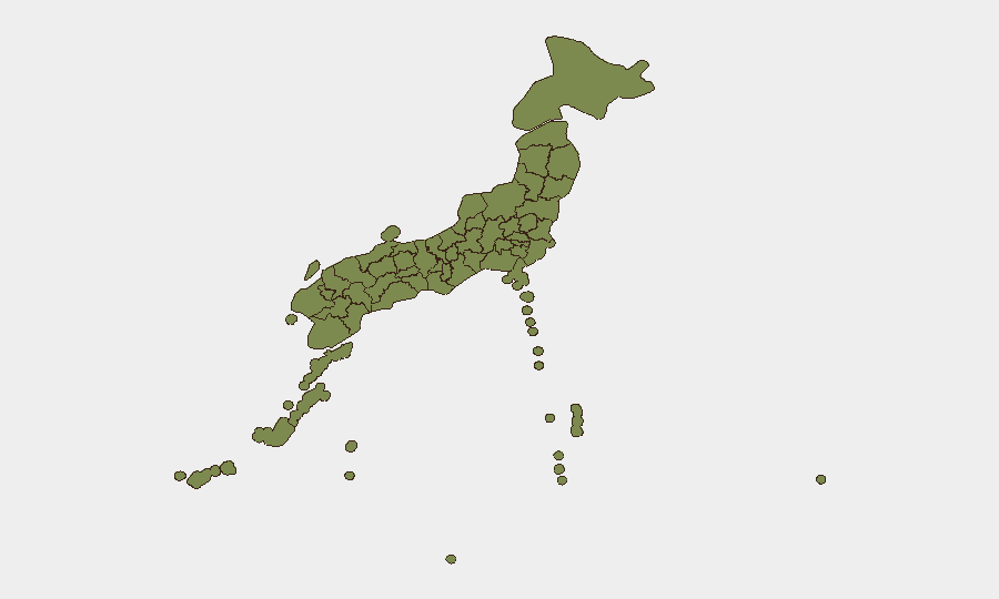
Kumamoto Prefecture dominates the risk ranking (score 15.4), driven entirely by the 28 July earthquake and ongoing rescue, recovery, and infrastructure-restoration operations. Tokyo (30.4) reflects accumulated smaller-scale incidents and baseline urban security activity, while Kanagawa (7) and Saga (3.7) show modest underlying concern. The earthquake has created a concentrated, acute risk zone in southern Kyushu affecting travel, business continuity, and logistics for the next 7–14 days; all other prefectures remain below baseline concern.
How GeoBit Would Assist
Security and duty-of-care teams with personnel or assets in Kumamoto should deploy AOI Monitoring & Early Warning for persistent watch of damage-affected zones (Uto, Kumamoto City, Yatsushiro) and Routing & Network Analysis to identify alternative travel and logistics corridors around road and bridge closures. GIS & Spatial Analysis and Satellite & Imagery analysis will enable near-real-time damage assessment and accessibility mapping as recovery progresses. Teams in Tokyo and Kanagawa may use Intel Sweep and X/Telegram OSINT to track national policy shifts, aftershock data, and utility restoration timelines that could affect broader operations.
7-Day Outlook
Kumamoto Prefecture will remain under heightened alert through early August as rescue operations conclude, death tolls are finalized, and aftershock frequency subsides. Road, bridge, and utility restoration will likely proceed unevenly; logistics and travel delays should be expected in southern Kyushu for 10–14 days. No escalation of civil unrest or secondary incidents is currently evident; the risk trajectory is one of gradual stabilization as emergency response transitions to recovery.
Highest-Risk Areas — Ranked
| # | State / Region | Risk |
|---|---|---|
| 1 | Tokyo | 30.4 |
| 2 | Kumamoto Prefecture | 15.4 |
| 3 | Kanagawa Prefecture | 7 |
| 4 | Saga Prefecture | 3.7 |
| 5 | Iwate Prefecture | 2.6 |
| 6 | Kyoto Prefecture | 1.5 |
| 7 | Hokkaido Prefecture | 0.6 |
| 8 | Fukuoka Prefecture | 0.6 |
| 9 | Yamaguchi Prefecture | 0.6 |
| 10 | Oita Prefecture | 0.6 |
| 11 | Akita Prefecture | 0.6 |
| 12 | Okinawa Prefecture | 0.3 |
Sources
Previous Daily Briefs
A new Japan brief is written every day — each with its own risk map and downloadable CSV. Here's the last week; use the calendar to go further back.
📅 Browse every day by calendar →
Highlighted days have a brief. Tap a day for that day's map & analysis, or “csv” for that day's dataset ($5).
Atlas — our AI intelligence desk — emails them this snapshot personally. Nothing else, no list.